Mormon Rocks sit directly on the San Andreas Fault, and visitors take in a stunning view of this ancient rock formation while hiking the Mormon Rocks Interpretive Trail.
Finding the Trailhead
The Mormon Rocks Interpretive Trail begins at the Mormon Rocks Fire Station on Highway 138, about 25 minutes from the city of San Bernardino. From San Bernardino, take I-15 north to Cajon Pass and Exit onto Highway 138, then head west on 138 for about 1.5 miles until you reach the fire station on your left.Pit toilets and ample parking are available at the station, and the entrance to the Mormon Rocks Interpretive Trail is clearly marked. The hike is about 1 mile, round-trip, and the trail approaches but does not actually cross the rock formation.
About the Trail
With an elevation gain of just 200 feet, the Mormon Rocks Interpretive Trail is a fairly easy hike that seldom takes longer than 45 minutes to complete. The trail winds through desert terrain of Cajon Pass, eventually cresting a ridge from which you can enjoy an unbroken view of Mormon Rocks and the mountains beyond.Numerous interpretive signs along the way inform visitors about the history of the area, and you can learn about early settlers, the Mojave people who once called the area home and the importance of Cajon Pass in the expansion of railroads during the 1800s.
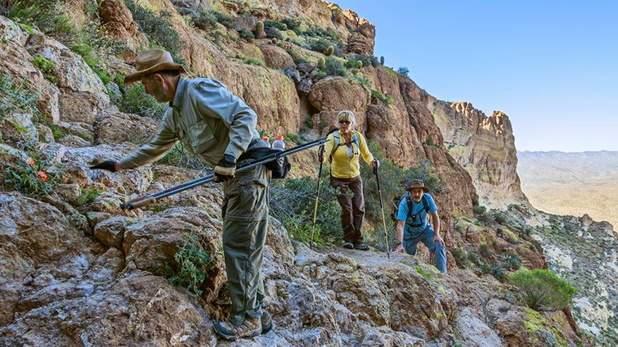
RELATED :: Hikes at Castle Dome in Arizona
Considerations
The Mormon Rocks Interpretive Trail is open year-round and offers gorgeous scenery during any season, though blooming wild flowers make spring a particularly scenic time to visit. The area experiences extremely high temperatures, especially in summer, so be sure to bring plenty of water and don't overexert yourself.Brochures detailing the sights along the trail are available at the fire station and through the San Bernardino National Forest website. Hikers are permitted to leave the trail and explore the rocks, but should do so with caution. Backcountry camping is also permitted, but you must be at least 1/4-mile from the highway. Campfires are prohibited and you must practice leave-no-trace camping.
Nearby Trails
Other hikes in the area include the Middle Fork Trail, a challenging trek that begins at the end of Middle Fork Road, about 20 minutes west of I-15. This trail covers considerably more mountainous terrain than the Mormon Rocks Trail, taking hikers on grueling a 5.5 mile one-way hike (11 miles, round-trip) to a mountain Pass known as Icehouse Saddle, gaining 3,600 feet in elevation along the way.To hike this trail, you must first obtain a wilderness permit from the Lytle Creek Ranger Station in San Bernardino National Forest. Permits are not required for the Mormon Rocks trail. Several easier hikes are also available on the east side of I-15, and a complete guide is available through the San Bernardino National Forest website.
You Might Also Like :: Top 5 Places to Visit In California
Linda Fehrman
Linda began writing professionally in 2014. The majority of her work has been published on fitness, health-eating and relationships. Linda is well-versed and passionate about relationships, fitness and health issues.


Leave a reply
Replying to